The Corvallis-to-the-Sea Trail Is Whole Again, Just as Its Late-Fall Rules Kick In
October 22, 2026
October 22, 2026
"People just want to hike the trail," C2C board member Steve McLay told Philomath News in late August. He was explaining why hiker numbers held up through nearly a year when the westbound route was blocked near Ona Beach. During that year, hikers headed for the coast had to finish on an 11-mile stretch of the C2C bike route. As of Aug. 27, 2026, the full 60-mile hiking route is usable again, according to the C2C Trail Partnership's advisory page.
The closed section was miles 51 to 56, about as far from Main Street in Philomath as the trail goes. But the reopening came about because private landowners and the Forest Service signed off, one at a time. That same arrangement sets the rules for the stretch of trail just west of town. Over the next two months, those rules tighten on a fixed calendar.
The closure began in fall 2025, after several parcels near Ona Beach changed hands and the trail no longer fit the plans for that property. The fix followed a corridor that trail founder Gary Chapman had scouted as a possible alternate in the early 2000s. The new route loops around the closed property and climbs onto Peterson Ridge. McLay described the ridge as a relatively flat, multi-mile "respite" for westbound hikers after about 40 miles of ups and downs.
Four separate approvals got the route open again:
Starker Forests is based just outside Philomath, and McLay gave it credit for pulling the pieces together: "They were key in making this all happen." Volunteers built the new section mostly on old roadbeds, including decades-old skid roads. They also moved a trail kiosk off the closed property and set new directional posts along the reroute. McLay estimated he put in about 250 hours himself.
For a Philomath hiker, Starker Forests matters most at the start of the trail. The C2C's eastern leg leaves Shawala Point Park in Corvallis and follows the Corvallis/Philomath multi-use path. It goes along Applegate Street and Highway 34 to Old Peak Road, about 9 miles of hiking. The path runs right past the Starker Forests office at 7240 SW Philomath Blvd.
That office matters because the gated part of Old Peak Road needs a free Starker permit. The same goes for part of Road 248 farther west on the hiking route. The C2C's permit page spells out the terms:
That last term is the one to watch this week. A permit picked up at the end of October is good for about nine weeks, and anyone hiking in January will need a new one. Starker's own land access page says first-time and local permit seekers must come to the office. Visitors who arrive without a vehicle can show the permit as a screenshot on their phone. The C2C page also notes that Starker's office is not a source for general trail information, so save route questions for the partnership.
To reach Old Peak Road, take Highway 34 for 1 mile from the Highway 20/34 "Y" at Philomath's west end, then turn right. There's no parking on Old Peak Road. Walkers can start at the turnoff or get dropped off at a gate about 4 miles in, and no vehicles can go past the gate. The nearest trailhead with parking is the Lower North Ridge Trailhead. From the same junction, take Highway 20 for 2 miles, turn onto Woods Creek Road at milepost 48 and drive 6 miles to the lot at milepost 6. Its 2.2-mile trail starts at a kiosk just past the gate. For a longer warm-up, the Benton County Fairgrounds at 53rd Street and Reservoir Road is an alternate start, 7 miles from Old Peak Road.
The C2C is open for hiking year-round unless the Forest Service or a private owner restricts it. The partnership warns that wildfire, nesting birds, spawning fish and logging can close sections at any time. Late fall adds dated restrictions on top of that. For a reader starting on Oct. 29, they line up like this:
Hikers aren't required to wear hunter orange. The rule covers only hunters under 18 using firearms. Still, ODFW's hunter packing list says blaze orange is "encouraged for all." Starker's hunting-season advice for people using its forests is to wear bright colors, make noise and put a bright collar or vest on dogs. Starker allows hunting on its land only for people with ODFW tags.
All of this is general information drawn from the published rules, not legal advice. Before you head out, confirm your permit with Starker Forests and the season details with ODFW.
Most people never hike the whole 60 miles. The partnership notes that most C2C outings are section hikes, which you can do any time. Close to Philomath, the North Ridge area stays open through the off-season. The Forest Service's North Ridge Trail page says hikers can use it year-round, though winter storms can leave trees across the trail. Higher up, Marys Peak Day Use is listed as open year-round. The Forest Service notes that its road is not maintained for snow and ice.
The partnership's current advisories add a few more points for this season:
The reroute changed miles 51 through 56 enough that the partnership asks hikers who know the old route to check its updated navigation before going. The partnership sells a $10 fold-out map and an $18 guidebook. In Philomath, both are stocked at Bicycle Stage One and Softstar Shoes. In Corvallis, they're at Corvallis Cyclery, First Alternative Co-Op, Peak Sports and Spicy Pedals. Philomath News reported that maps and guidebooks showing the new route were expected in stores in September. If you're buying on paper, ask for that edition.
In August, the partnership was also discussing a celebration of the full reopening. McLay mentioned possible gatherings on the coast, perhaps in Toledo or Newport, and inland at Shawala Point in Corvallis, where the eastbound trail ends.
Living near the Highway 20/34 junction, or anywhere within easy reach of Woods Creek Road, puts the C2C close to home all year, even in the off-season. If trail access is on your list for your next home in Philomath or nearby, Debbie Brand has more than 30 years of experience across this end of Benton County. Contact Debbie for a personal market consultation.
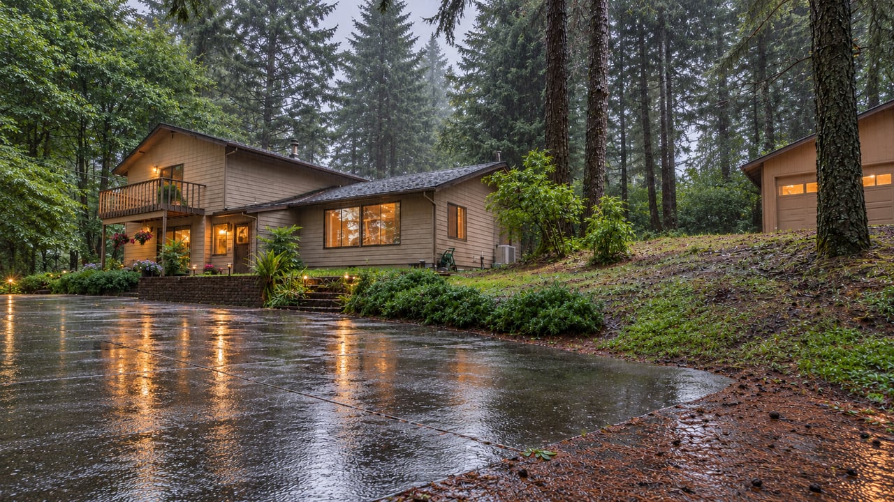
What buyers in Corvallis, Philomath, Albany, and Lebanon should know about drainage, crawl spaces, roofs, and seasonal moisture.

Get assistance in determining current property value, crafting a competitive offer, writing and negotiating a contract, and much more. Contact me today.